Tabula
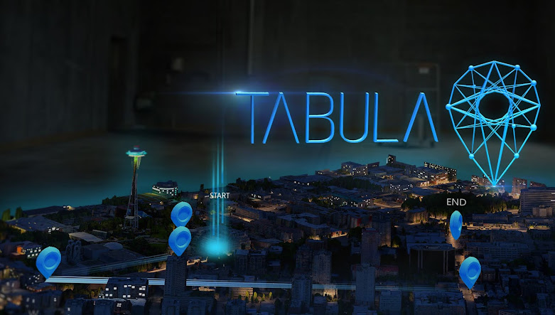
This project was created to simulate a tool on the HoloLens for assisting in disaster response. By using data and other sources for coordination of teams on the ground. For this project I was Art Lead and also created VFX, 3D art and UX design. The scenario was a 6.6 earth quake had struck near Seattle Puget Sound Area. We used "Bing map data" to extract the location from a satellite view and a city viewpoint. This was designed for the HoloLens V1 one but does function as well on HoloLens V2
Video: Be sure to maximize the video for best results.


